
About the Conference – ICGTNHA 2027, Makassar
International Conference on Geospatial Technologies and Natural Hazard Assessment — ICGTNHA 2027
Dates
28–29 June 2027
Venue
Makassar, Indonesia
Field
Geospatial Technologies and Natural Hazard Assessment
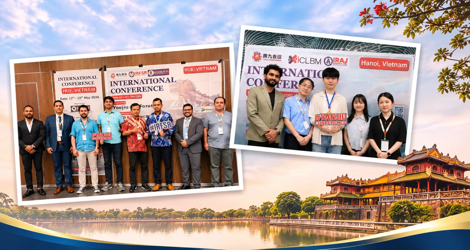
Where New Ideas in Geospatial Technologies and Natural Hazard Assessment Meet
The International Conference on Geospatial Technologies and Natural Hazard Assessment (ICGTNHA) will be held in Makassar, Indonesia on 28–29 June 2027, bringing together researchers, academicians, educators, scholars and industry professionals from around the world. The conference is an international platform for presenting original research, exchanging innovative ideas and fostering interdisciplinary collaboration in Geospatial Technologies and Natural Hazard Assessment.
ICGTNHA 2027 encourages discussion of contemporary challenges, emerging trends and transformative research. Participants take part in keynote sessions, technical presentations, networking and collaborative discussions that build academic partnerships and global knowledge exchange. Whether you present research or attend as a participant, ICGTNHA offers an inspiring environment for learning, innovation and international collaboration.
What the Two Days Hold
Knowledge sharing happens through keynote sessions, research presentations, technical discussions and time set aside to meet people.
Keynote Sessions
Talks from established voices on where research in the field is heading.
Research Presentations
Oral, poster and virtual sessions where authors present and defend their work.
Technical Discussions
Open exchanges on method, policy and practice across disciplines.
Global Networking
Build collaborations with researchers and institutions from around the world.
- Years of Success
- 8+
- Countries
- 50+
- Universities
- 100+
Supported By
See You in Makassar This June
Present your research, meet peers from over 50 countries and help shape the future of Geospatial Technologies and Natural Hazard Assessment.